
Floods don't stop at city limits. Neither should our monitoring systems.
Some of Odivelas' floods start in Loures, when high Tagus levels push water back up shared watercourses. Shared sensor data now gives both municipalities the full picture.
The challenge
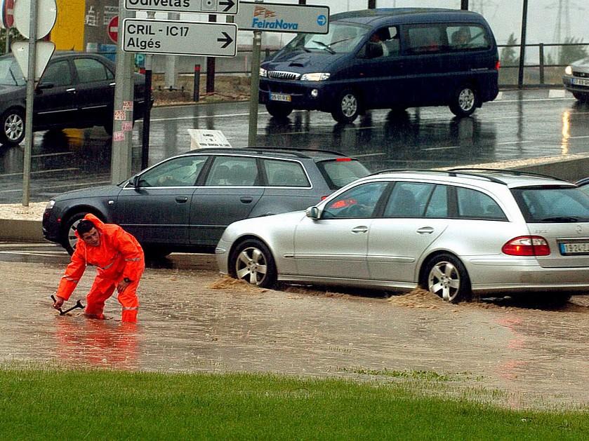
Odivelas suffers floods caused by backflow in the watercourses it shares with neighbouring Loures, when the Tagus, where both municipalities' streams flow out, runs high. Without data from Loures, the Municipal Civil Protection Service of Odivelas struggled to anticipate these floods.
How can a municipality gain response time by monitoring watercourses beyond its own borders?
What we deployed
Both municipalities are greenmetrics.ai clients, so their data is shared: Loures is aware of the situation upstream and Odivelas of the state downstream, and each can see what is coming from the other side of the border.
What changed
Odivelas can now anticipate floods caused by backflow, using readings from sensors outside its own territory. The case shows what the system can do when flooding is managed across municipal borders.
- Anticipation of backflow floods
Why it matters
Water does not follow administrative boundaries. When a flood starts in a neighbouring municipality, the first signs appear where one authority has no sensors and the other has no reason to raise the alarm. Shared data turns two partial views into one, so preventive work in Odivelas starts with the first rise in level, not when the water is already in its streets.
- Backflow floods arriving without warning
- Blind spots at the municipal border
- Each municipality preparing with half the information
GET A FLOOD-RISK ASSESSMENT FOR YOUR CITY
Tell us about your city — we'll send back a 1-page readiness brief and schedule a technical call.