
Minutes to hours of warning. Before the water hits the street.
We turn real-world data into real-time decisions to create resilience to climate change with AI-driven, ultra-local flood detection systems for cities.
 LISBOA
 PORTO
PORTO OEIRAS
 CASCAIS
 SINTRA
 SETÚBAL
 LOURES
 ODIVELAS
 GUIMARÃES
 MAIA
MAIA TAVIRA
 LOULÉ
LOULÉ INFRAESTRUTURAS DE PORTUGAL
 ELDORADO DO SUL
URBAN FLOODING IS THE FASTEST GROWING CLIMATE RISK FOR HUMAN SOCIETIES
And cities worldwide lack effective monitoring tools to take quick action and minimize social and economic damage. We are changing that.
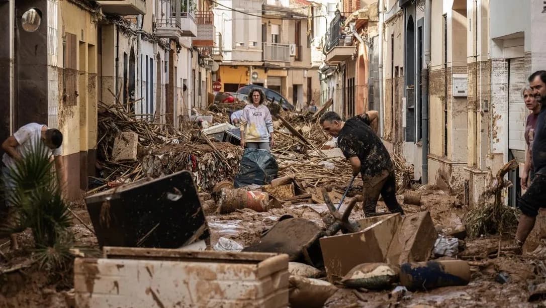
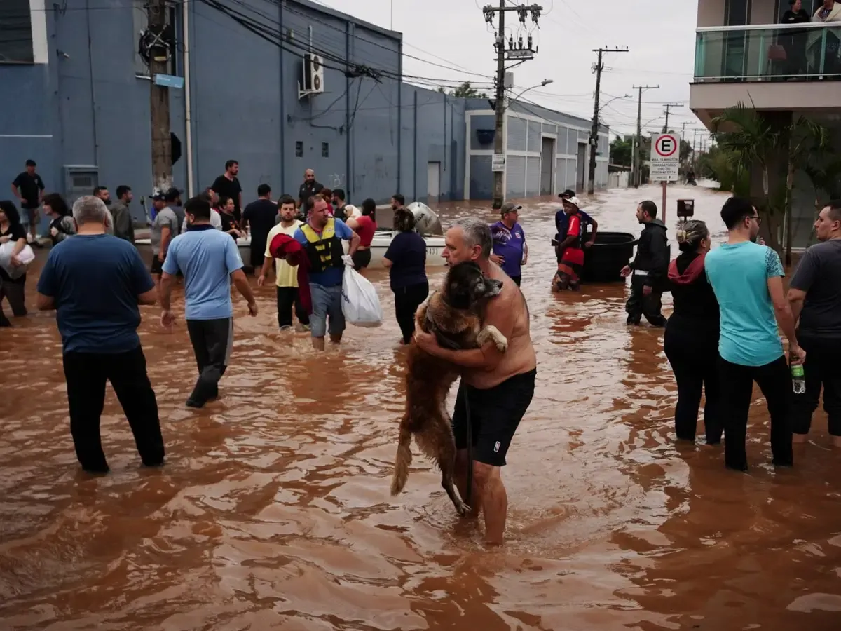
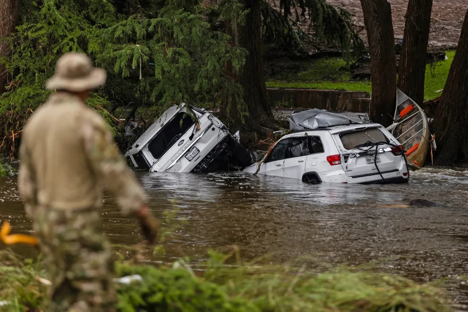
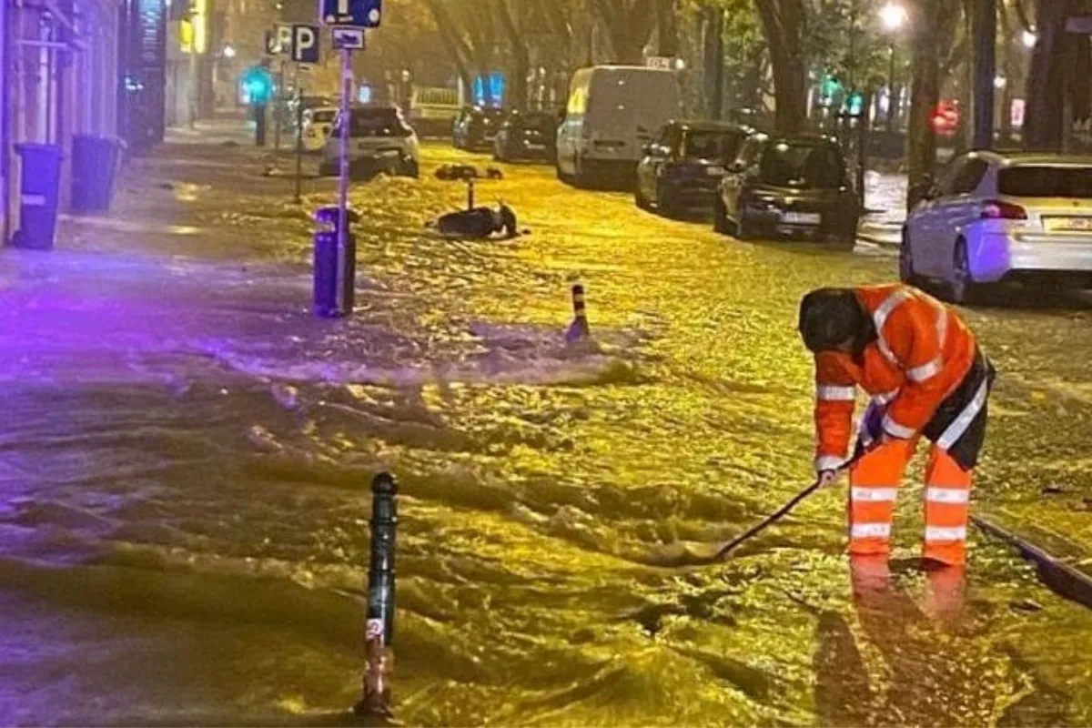
“We only know there's a flood when someone calls, and it's usually too late.”
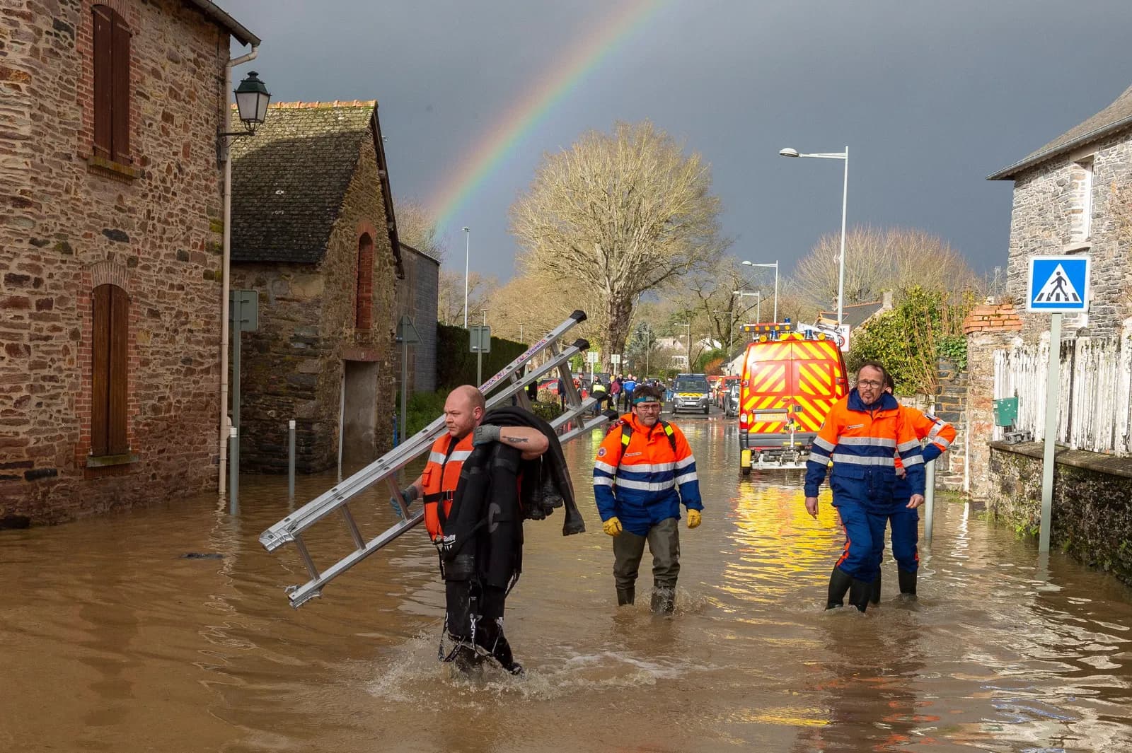
“It all happened too fast during the night. There was no time.”
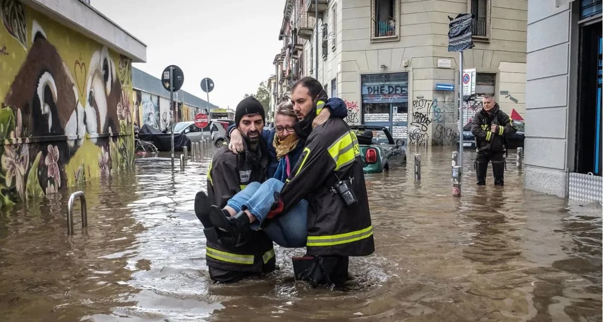
“I've never seen so much rain. Nobody could have predicted this.”
WE PROVIDE SCALABLE, EFFECTIVE AND RELIABLE EARLY FLOOD WARNING SYSTEMS
We alert cities before critical flooding occurs, giving them insight on when and where to act to minimize the impact on population and infrastructure.
- Interactive maps & 3D views
- Flood scenario simulation ("what if")
- Real-time monitoring & fleet management
- Integration with official weather sources
- AI predictive alerts & level forecasting
- Fully customizable alert workflows
- Multichannel notifications & subscriptions
- Access management, PDF reporting & API
ENABLING PREVENTIVE ACTION INSTEAD OF REACTIVE RESPONSE TO SAVE LIVES
- 24/7 monitoring = no surprises
- Historical data collection = intelligent decisions
- AI-enabled alerts = minutes to hours of anticipation
- WhatsApp alerts with GPS location of flood-risk area = quick resolution
- Road closures, unclogged drains, evacuated areas = lives saved
ULTRA-LOCAL, STREET-LEVEL MONITORING WITH REAL-TIME DATA AND PREDICTIVE ALERTS
Airport-grade pluviometers monitor rainfall, warning for unusual patterns and quick rain bursts.
Last-generation radar sensors monitor rapid changes in water levels in rivers and drainage systems, anticipating floods.
Proprietary flood-detection probes strategically positioned in high-risk locations confirm onset of flooding and trigger an alert.
Smart sensors communicate through a radio protocol to send real-time data to receiving antennas located up to 10km away.
System latency under 3 seconds issues real-time warnings, so you know it before anyone calls in.
Robust in cellular-unstable conditions due to dedicated radio communication infrastructure equipped with uninterruptible power supplies (UPS).
Data is stored and combined with historical and real-time weather data to train predictive models giving authorities insight into probability of flooding in specific areas and their dynamics.
Anticipating risk events is key to gaining minutes to hours that allow for preventive action to minimize damage.
Our models improve over time with new data generated by each city deployment, year after year, creating a self-improving flood intelligence system.
Used to monitor city-wide flooding status in real-time and support decision-making by city authorities and infrastructure managers.
Real-time and predictive alerts sent directly to city authorities and citizens in vulnerable areas for early warning.
Seamless integration with existing operational systems to take the next step in emergency management protocols.
Unlike solutions that rely solely on weather forecasts and historical data, our edge comes from collecting real-time, street-level, on-the-ground data to deliver more precise and actionable insights.
Trusted by civil protection authorities worldwide
What the people running command rooms say after a season with greenmetrics.ai.
Real cities. Real floods. Real stories.
How civil protection authorities are using greenmetrics.ai systems to protect citizens from climate change in Europe and Latin America.
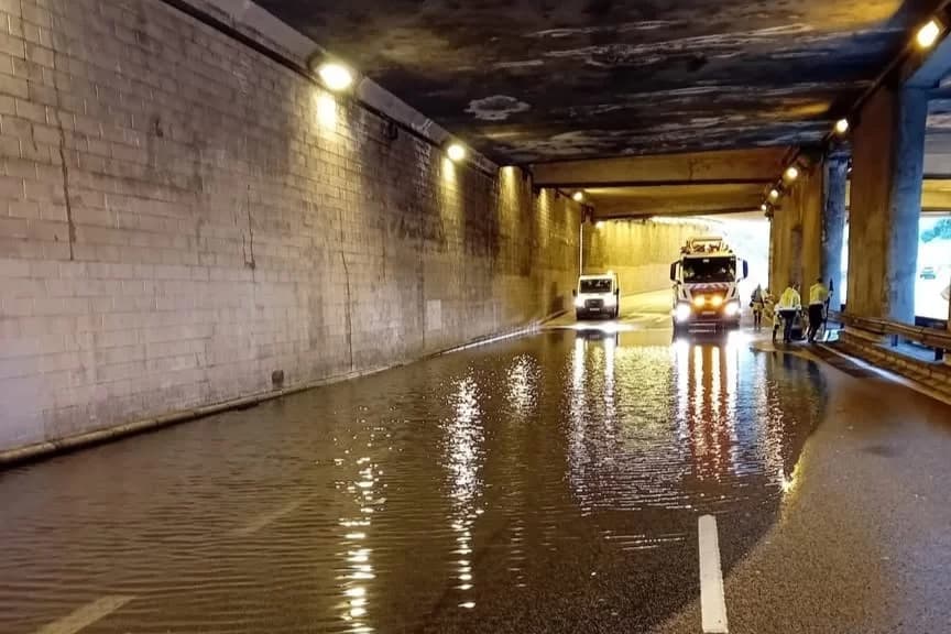
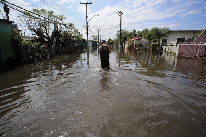
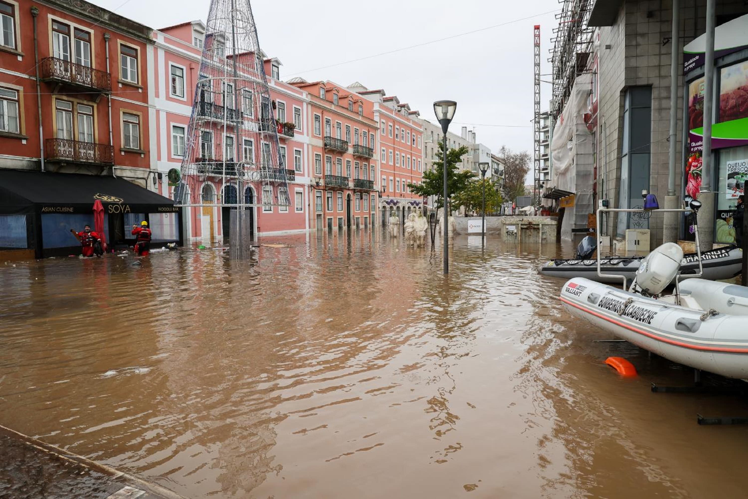
Latest from the field
Installations, alerts and the floods we helped cities get ahead of — watch the latest on YouTube.
Questions from city
decision makers
Procurement-ready answers on deployment, data, compliance, and cost. Something missing? Ask us directly.
A typical pilot with 10–20 sensors goes live in under two weeks. Each sensor is installed in under 30 minutes — drilled into existing road infrastructure, battery-powered, and immediately transmitting over our LoRaWAN network. No civil works, no trenching.
GET A FLOOD-RISK ASSESSMENT FOR YOUR CITY
Tell us about your city — we'll send back a 1-page readiness brief and schedule a technical call.