
State of the art technology built for street level detection.
Monitor everything from anywhere, anytime. Get actionable alerts in under three seconds. Your job is to make better decisions, let technology do the rest.
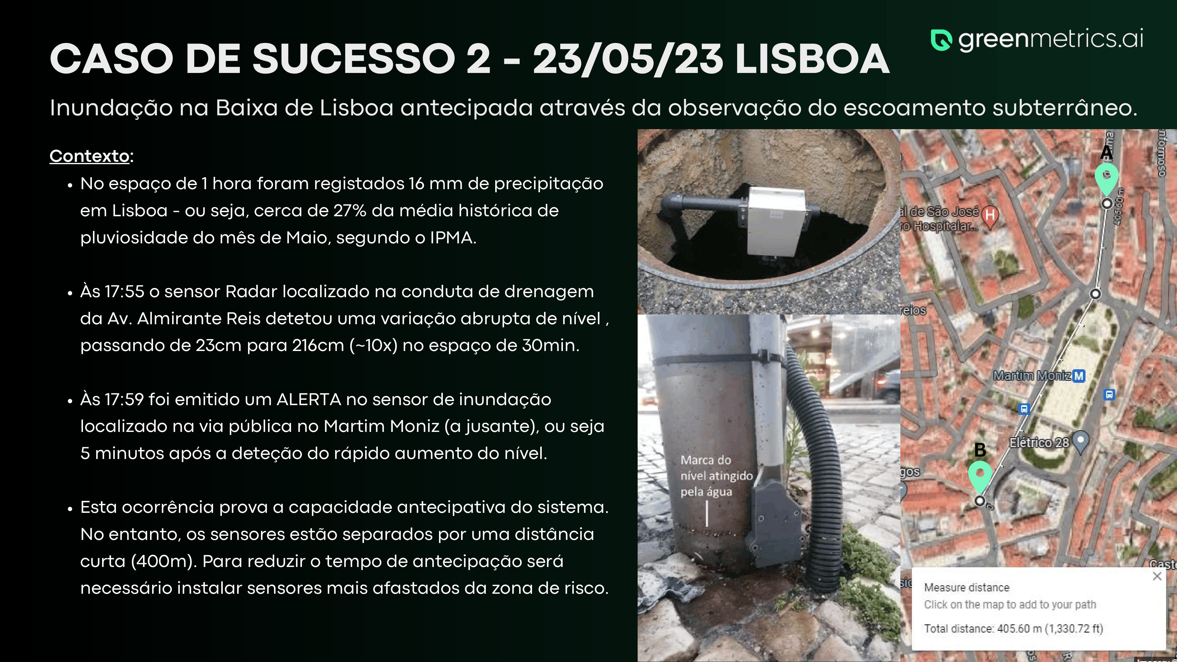
From the first sign of flooding to a warning in the command room in under 5 seconds
Autonomous smart sensors on bridges, buildings and rooftops watch the river and the streets in real-time. A long-range radio network carries their readings to our monitoring platform, which raises the alarm in the civil protection command room before any citizen has the time to call in.
System event log
- Sense
- → Connect
- → Decide
Readings shown are illustrative. Real thresholds, reporting intervals and alert rules are configured per site on the platform.
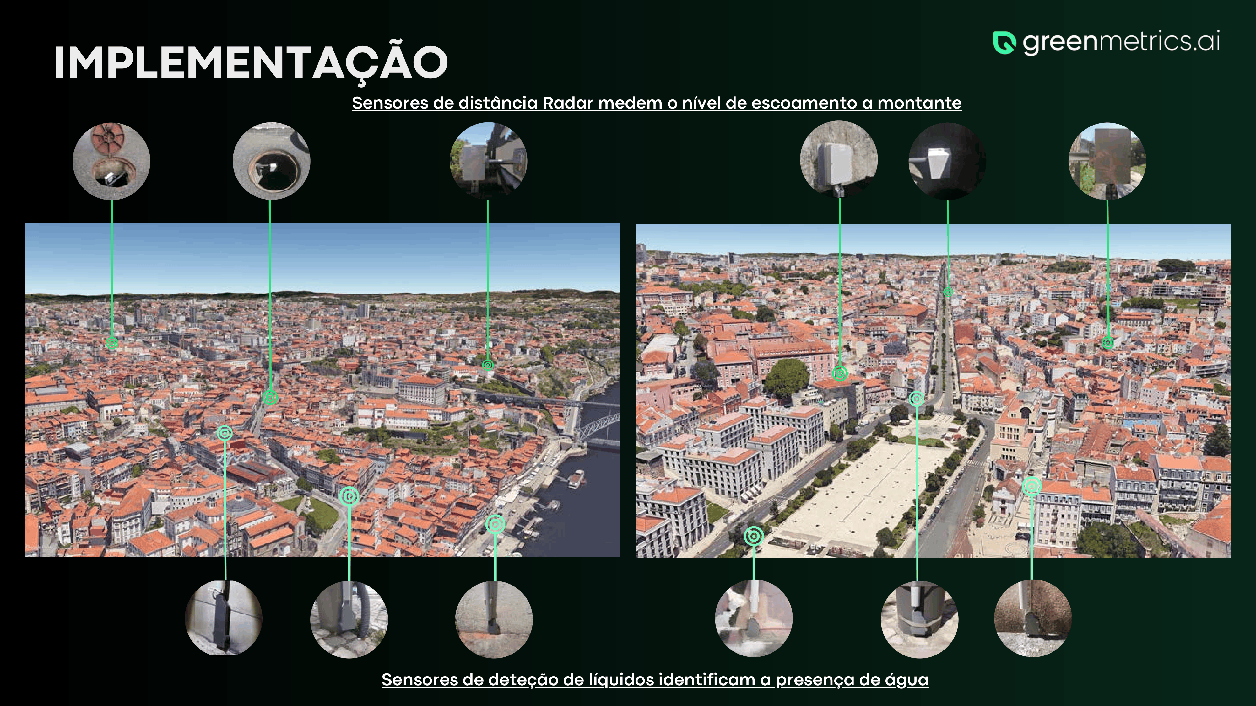
Radar level sensors for rivers & drains
Non-contact radar sensors mounted on bridges, in manholes, or inside drainage conduits. No moving parts, immune to debris, measures level changes in real-time.
- Range
- 25 m
- Accuracy
- ±3 mm
- IP
- 68
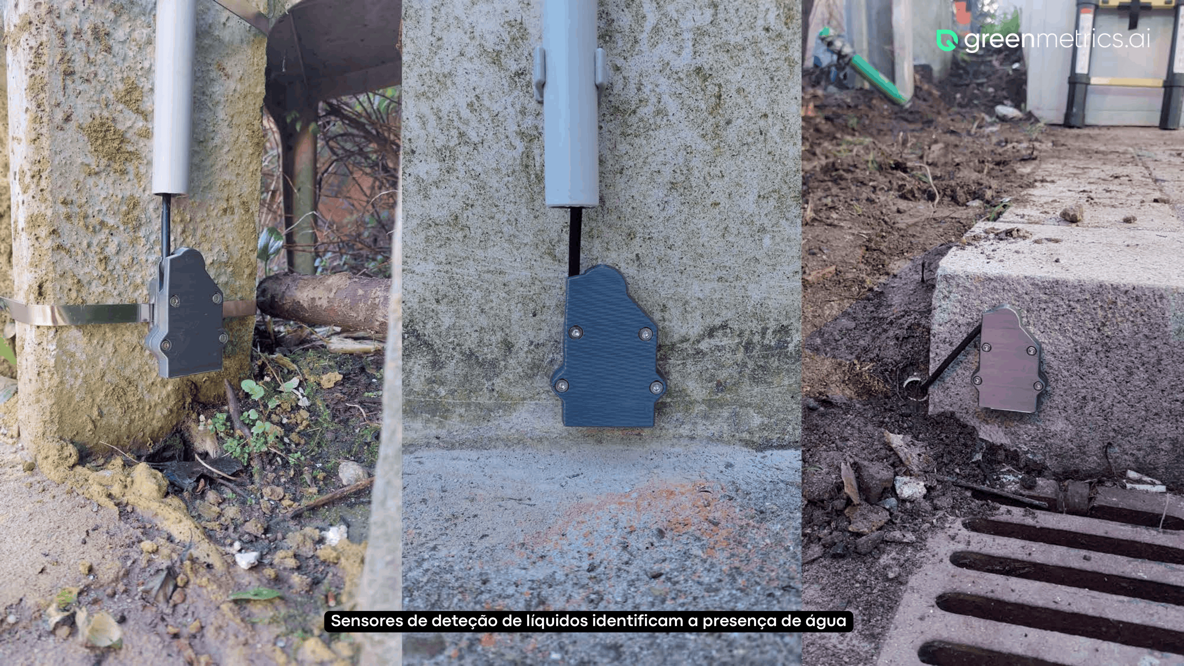
FLOOD DETECTION SENSORS
Proprietary flood-detection probes strategically positioned next to drains, parking lots, highways, squares and street-level risk zones. Confirm water presence the instant it reaches the sensor.
- Install
- < 30 min
- Battery
- +5 years
- Status
- Proprietary design
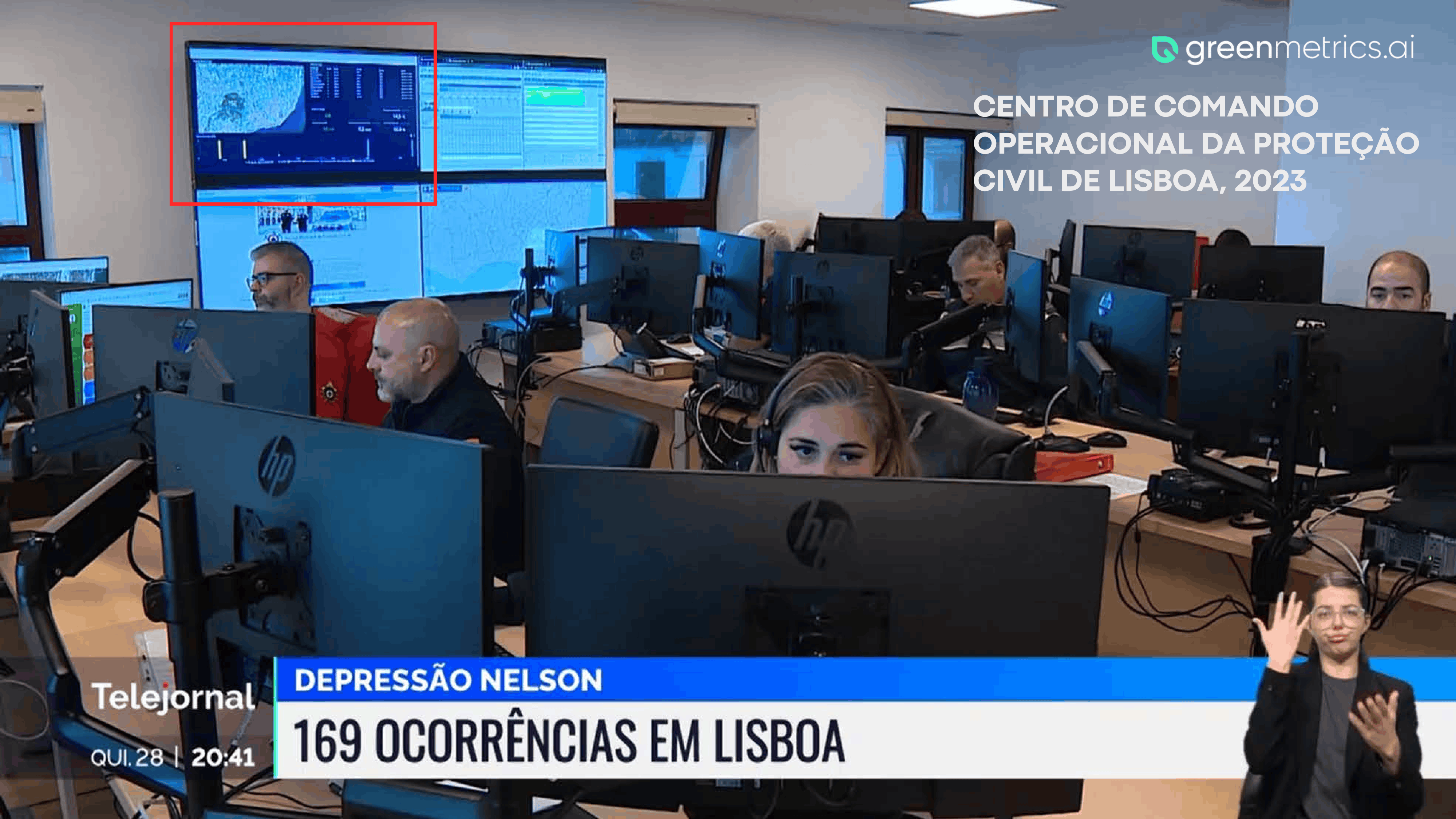
The GreenMetrics.AI FLOOD INTELLIGENCE TOOL
A specialized forecasting model fusing historical records, live sensor telemetry, and high-resolution weather data. Outputs per-street probability of flooding up to several hours ahead, continuously calibrated against real flood events we've measured.
- Horizon
- 5 min – 6 h
- Granularity
- Street
- Calibration
- Real events
INTEGRATED FLOOD MANAGEMENT IN ONE PLATFORM
A dashboard for command rooms, a field app for responders and WhatsApp alerts to authorities and citizens. Every alert carries coordinates and recommended actions so teams can act in seconds, not hours. Includes interactive maps & 3D views, real-time and predictive alerts, geospatial analytics features, flood scenario simulations, integration with official weather sources and customizable alert workflows.
- Sensor capacity
- +10k
- Data
- Multi-source
- SLA
- 99.9%
GET A FLOOD-RISK ASSESSMENT FOR YOUR CITY
Tell us about your city — we'll send back a 1-page readiness brief and schedule a technical call.